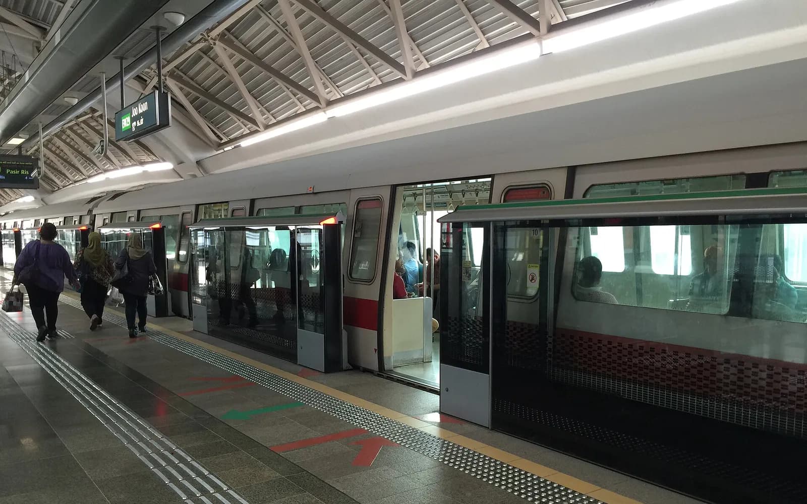


The easiest way to get to Marina Bay is by MRT, Singapore's metro. Get off at Bayfront for Marina Bay Sands and Gardens by the Bay. Use Raffles Place for the Merlion, and Esplanade station for the theatres.
Buses and taxis also work, and the bay is an easy walk from City Hall and Clarke Quay. This guide matches each sight to its station, then covers routes from popular hotel areas. For more about the area, browse our Marina Bay guides.
Which MRT station for each part of Marina Bay
Marina Bay wraps around a large stretch of water, so the right station depends on where you are going.
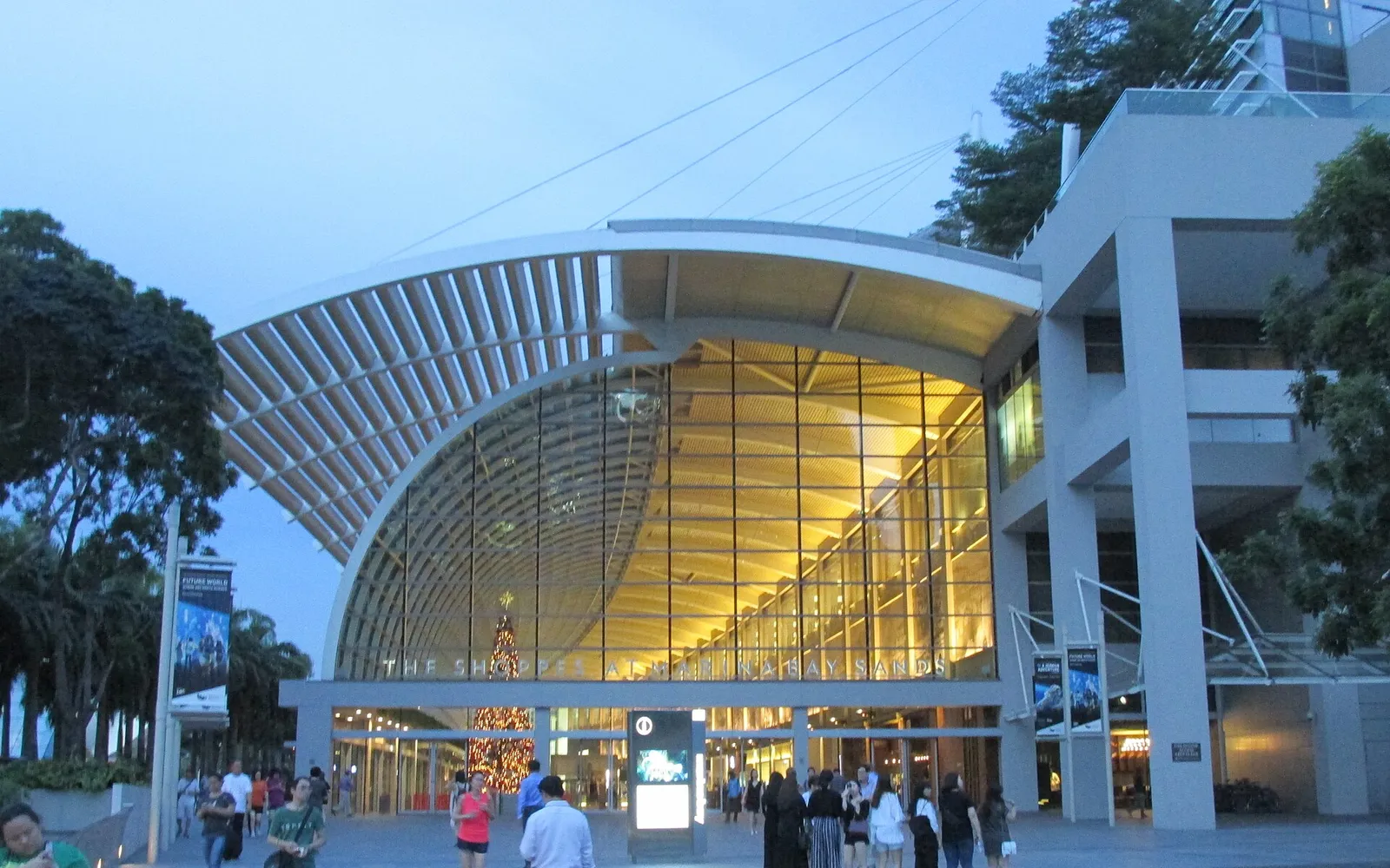
Bayfront: Marina Bay Sands and Gardens by the Bay
Bayfront is on the Circle and Downtown Lines. Underground passages lead into The Shoppes at Marina Bay Sands and towards Gardens by the Bay. Follow the signs for each one.
Gardens by the Bay station
This stop on the Thomson-East Coast Line also serves the gardens and Marina Barrage. It is handy from Orchard Road, as the same line runs there directly.
Raffles Place: the Merlion and the river
Raffles Place is on the East-West and North-South Lines. It is a short walk to Merlion Park, the Fullerton Hotel, Boat Quay and Lau Pa Sat.
Esplanade and Promenade: the north shore
Esplanade station on the Circle Line is next to Esplanade – Theatres on the Bay. Promenade, on the Circle and Downtown Lines, is the stop for the Singapore Flyer.
Getting to Marina Bay from popular hotel areas
Several MRT lines run straight to the bay, so from these areas you rarely need to change trains.
- Orchard Road: take the Thomson-East Coast Line to Gardens by the Bay, or the North-South Line to Raffles Place.
- Chinatown: take the Downtown Line to Bayfront, just three stops away.
- Bugis and Little India: the Downtown Line runs direct to Promenade and Bayfront.
- City Hall: walk underground through CityLink Mall towards Esplanade, or stroll through Esplanade Park.
- Clarke Quay: follow the riverside path past Boat Quay to Merlion Park. It takes roughly 20 minutes.
Still choosing a base? Compare hotels in Marina Bay & CBD or read Marina Bay vs Orchard.
Paying for the MRT and buses
You do not need to buy a ticket. Tap a contactless bank card, a phone wallet or an EZ-Link card at the gate. Tap again when you leave. On buses, tap when you board and again when you get off. Fares depend on distance. Our guide on how to use the MRT in Singapore covers the details.
Taking the bus to Marina Bay
Many buses stop near Marina Bay Sands, Suntec City, Esplanade and Raffles Place. Buses are cheap and air-conditioned, but slower than the MRT in heavy traffic. Routes can change, so check a journey planner app before you set off. Each bus stop also lists the routes that stop there.
Taking a taxi or ride-hailing car
There are taxi stands at Marina Bay Sands, Gardens by the Bay and the large malls nearby. You can also book a car through an app such as Grab. Fares can rise at peak times, late at night and with road charges in the city centre.
On busy nights, such as New Year's Eve or the Singapore Grand Prix weekend, some roads near the bay close. The MRT is usually faster then.
Walking to Marina Bay
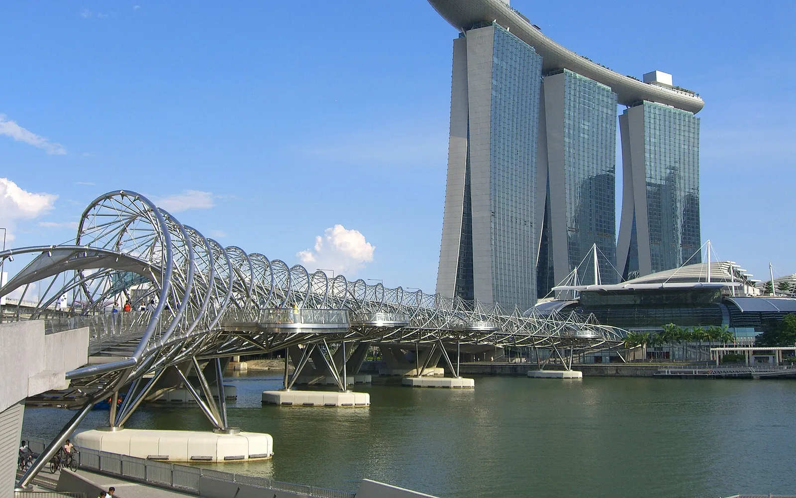
The bay is an easy walk from much of the city centre. Footbridges link the main sights. The Jubilee Bridge joins Merlion Park to Esplanade, and the Helix Bridge leads to Marina Bay Sands. Underground links also join several stations, malls and hotels. Our guide to Singapore areas with covered walkways explains more.
Midday walks feel long in the heat. Walk in the morning or evening, carry water and plan a stop indoors. Our one day in Marina Bay plan follows a route that does this.
FAQs about how to get to Marina Bay
Which MRT station is closest to Marina Bay Sands?
Bayfront, on the Circle and Downtown Lines. It connects underground to The Shoppes, which leads into the hotel.
How do I get to Gardens by the Bay by MRT?
Get off at Bayfront and follow the signs. Or use Gardens by the Bay station on the Thomson-East Coast Line.
Can I walk from the Merlion to Marina Bay Sands?
Yes. Cross the Jubilee Bridge, walk past Esplanade and cross the Helix Bridge. It takes about 25 minutes at an easy pace.
How do I get to Marina Bay from Changi Airport?
The MRT works but needs at least one change of train, so check a journey planner. With heavy bags, a taxi is simpler. Our Changi Airport guides have more help.